Go on an adventure with a satellite connection
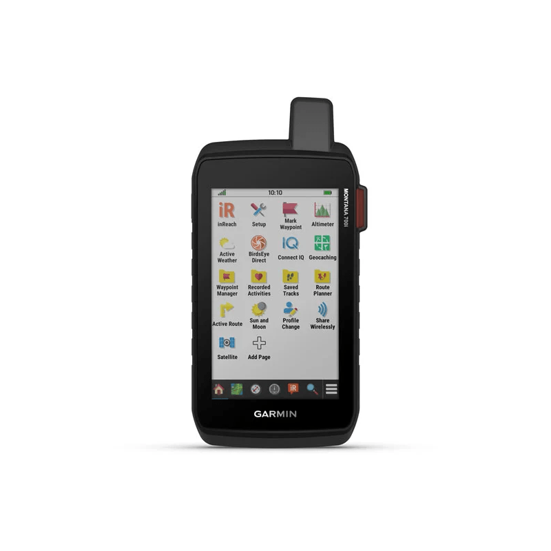
The Montana 700i handheld device allows you to traverse routes while being in constant contact. It combines the flexibility of road and off-road navigation with global messaging and an interactive SOS system via inReach satellite technology1.
Connectivity in the field with inReach technology.
TWO-WAY MESSAGING
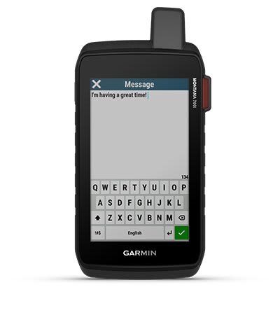 |
Stay available by texting with loved ones, posting content on social networks, or communicating with other inReach users in the field (active satellite subscription required). |
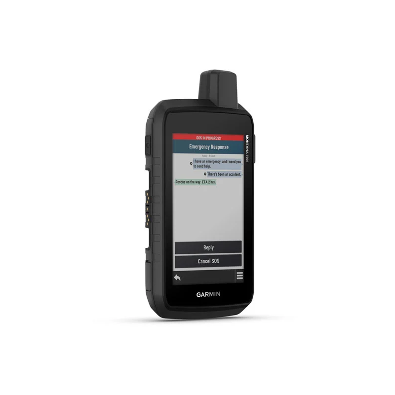
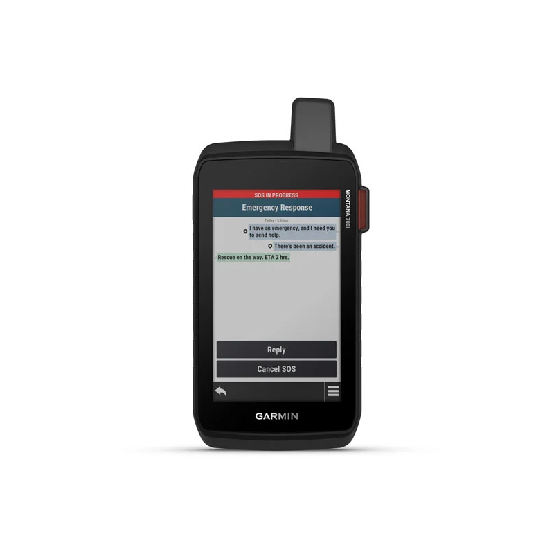
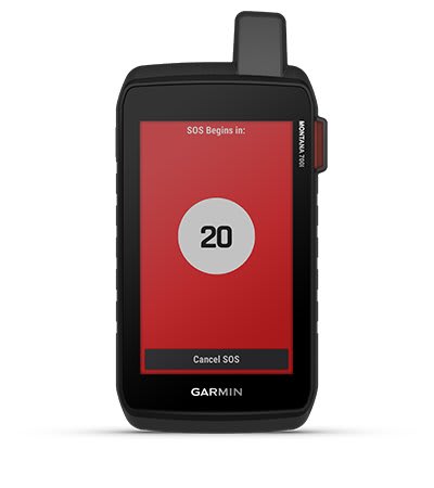
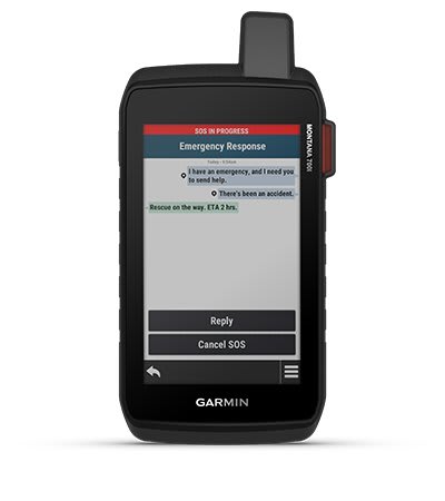
INTERACTIVE SOS
| In an emergency, send an interactive SOS signal to GEOS – the International Emergency Response Coordination Center (IERCC) with Garmin’s 24/7 professional monitoring and response center (active satellite subscription required). |
 |
GLOBAL CONNECTIVITY
 |
Messaging, SOS alerts and tracking information are done over the 100% Iridium® global satellite network, not a cellular network (active satellite subscription required). |
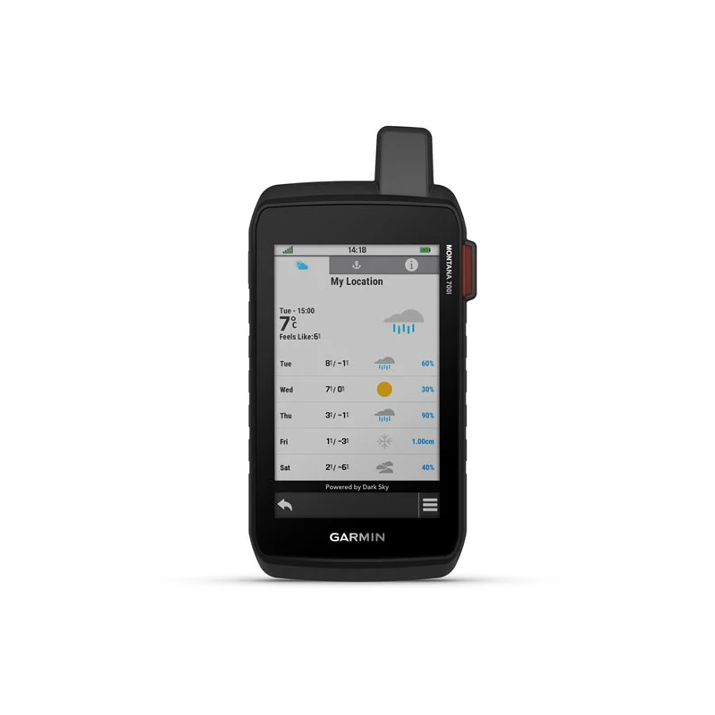
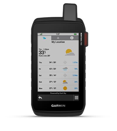
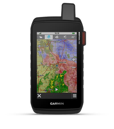
INRECAH WEATHER
| Detailed weather updates are delivered directly to your Montana handheld or paired devices using the inReach weather forecast service. |
 |
Be prepared for any situation.
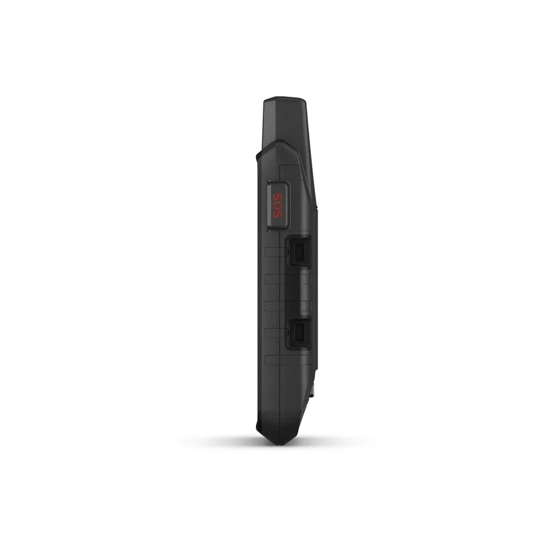
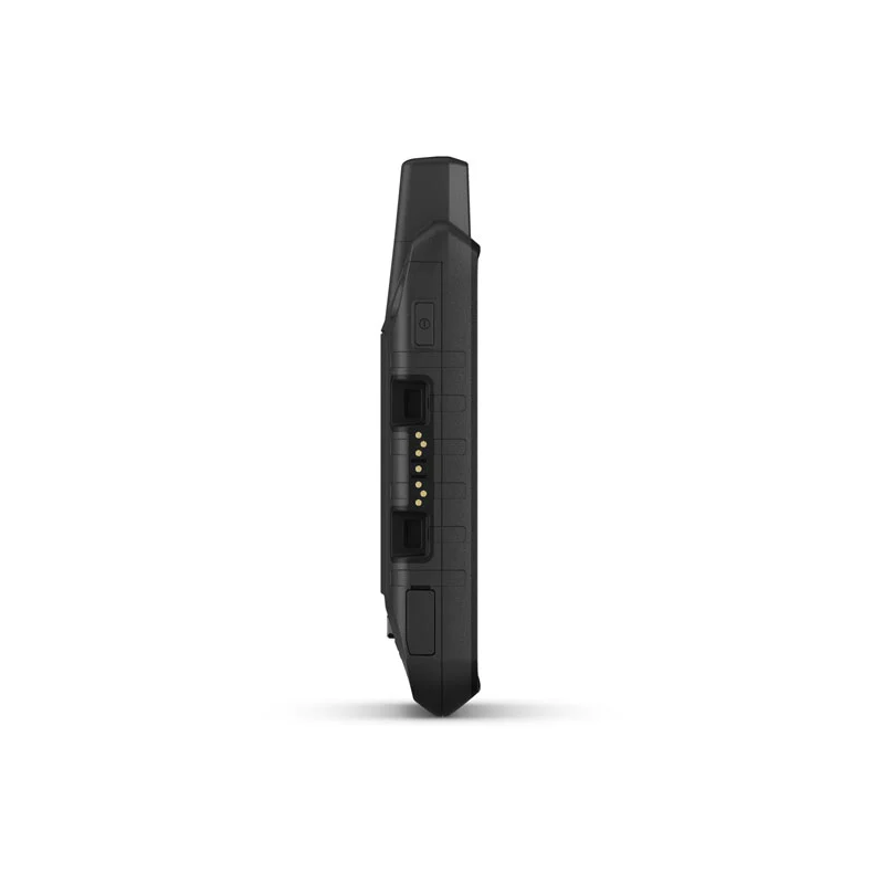
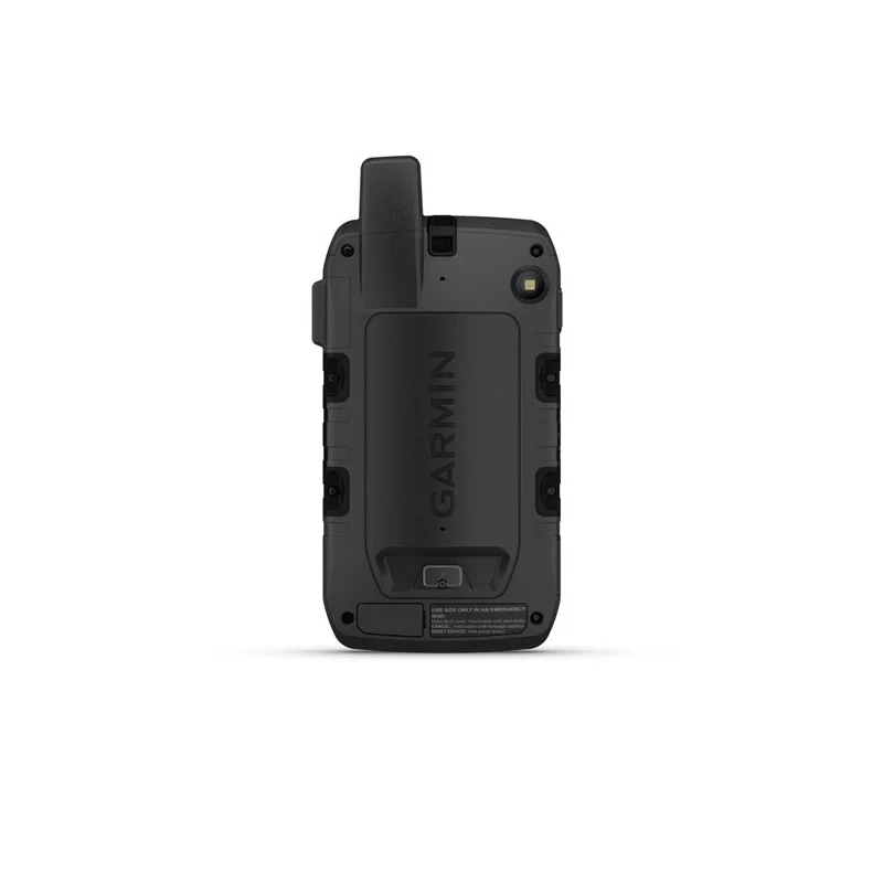
RUGGED BY DESIGN
 |
Durability and water resistance confirmed by tests in accordance with U.S. military standards. On the other hand, the 5” touchscreen has been adapted to use with gloves and is 50% larger than previous Montana models. |
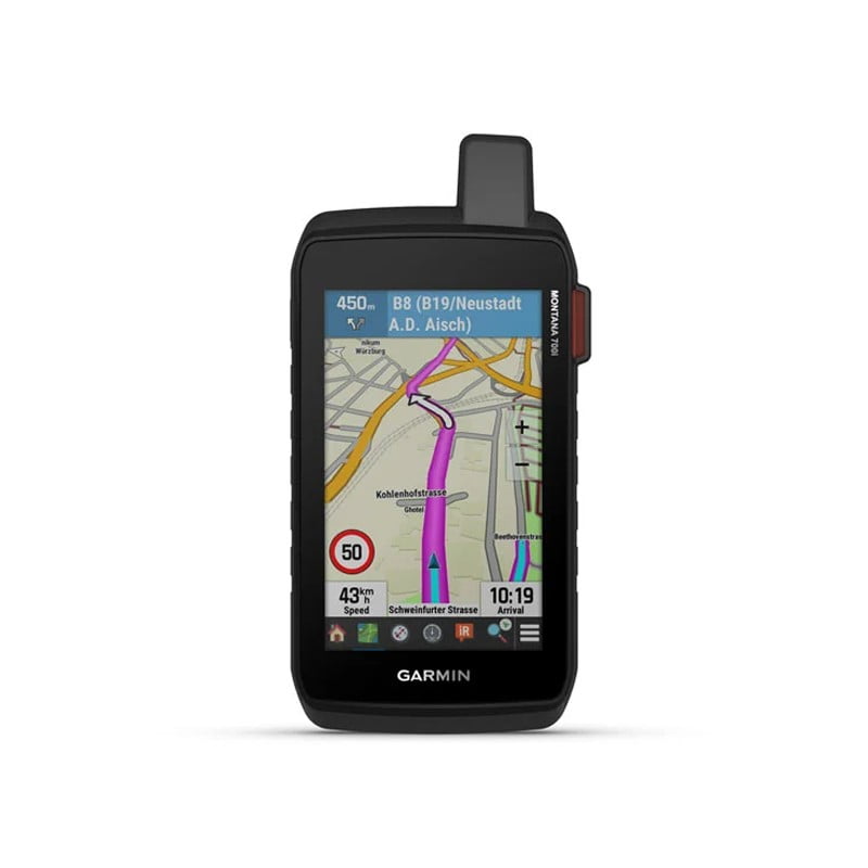
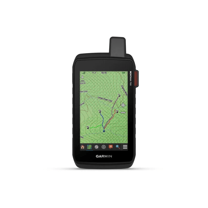
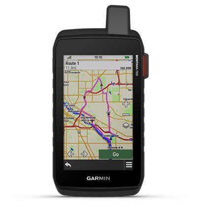
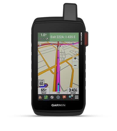
CITY NAVIGATION MAPS
|
Preloaded City Navigator street maps provide a seamless transition from trail to road navigation and guide you with simple but turn-by-turn directions. |
 |
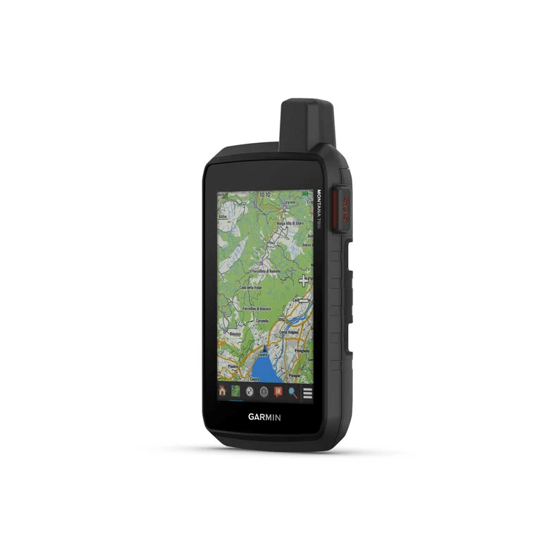
TOPOACTIVE EUROPE MAPS
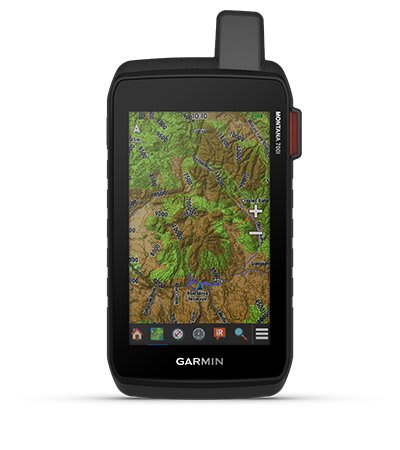 |
Offroad navigation with preloaded TopoActive maps of Europe allows you to view altitude, coastlines, rivers, landmarks and more. |
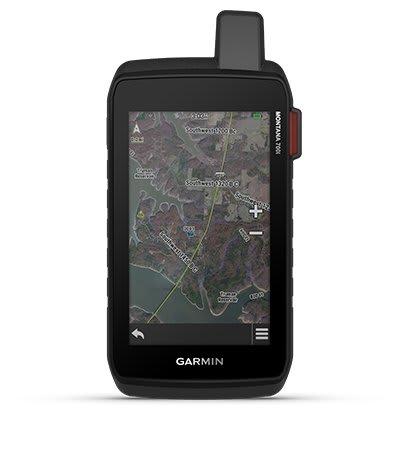
SATELLITE VIEWS
| Direct download of Birdseye satellite images to your device (no annual subscription required) allows you to view realistic images and create waypoints from landmarks. |
 |
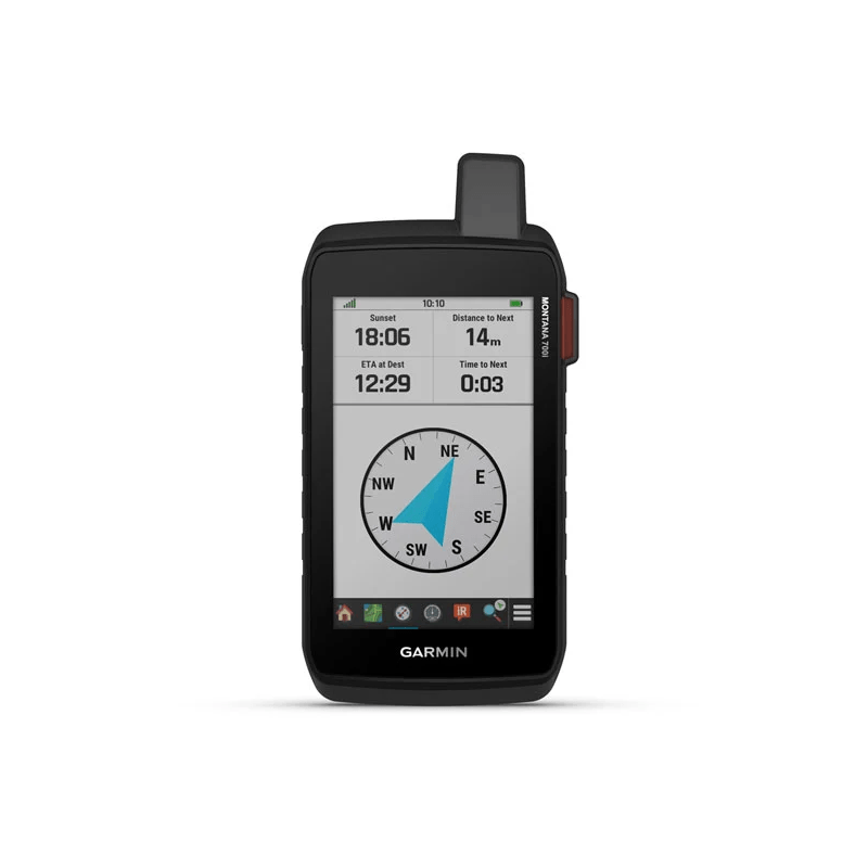
ABC SENSORS
|
On the new trail, you can use ABC sensors, including: altimeter, altitude indicator, barometer and a 3-axis electronic compass. |
ACTIVE WEATHER
| Access current Active Weather forecasts via Garmin Connect using a cellular connection1. |
 |
DOG TRACKING
 |
Montana is loaded with hunter and trainer features to sync with your compatible Astro® or Alpha® handheld device. |
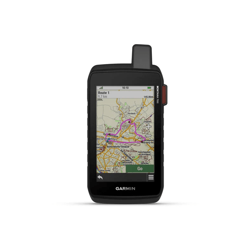
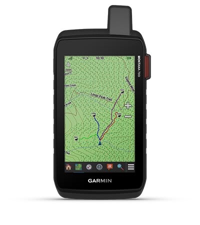
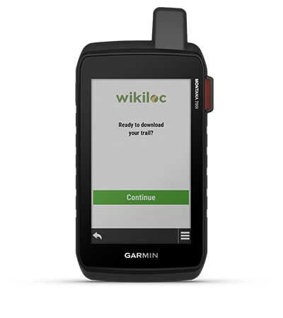
WIKILOC TRAILS
| The pre-installed Wikiloc application allows you to easily download hiking, biking and other routes shared by enthusiasts of outdoor activities from your database. The free 60-day Wikiloc Premium version allows you to try out the unique features. |
 |

Stay on route when traversiong non-network coverage areas.
MULTI-GNSS SUPPORT
The availability of GPS, GLONASS and GALILEO satellite systems provides position tracking in situations too demanding for the GPS signal alone.
LOCATION SHARING
LiveTrack allows you to wirelessly connect1 other users’ Garmin GPS devices to share your routes, waypoints and adventures with them.
EXCURSION MODE
Expedition mode and ultra-low-power GPS allow Montana to run for at least a week between charges to keep you going on long journeys without a network connection.
LONGER BATTERY LIFE
In GPS mode, the internal lithium-ion battery provides more than 18 hours of operation.
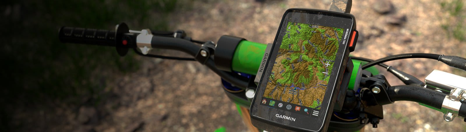
VEHICLE MOUNTS
With a variety of mounts available separately for Montana, you can customize your navigation device for use on ATVs, boats, and in cars, motorbikes, motorhomes and other vehicles.
IN THE BOX:
- Montana® 700i,
- Lithium-ion battery pack,
- USB cable,
- Documentation.
1 Satellite subscription required. Some jurisdictions regulate or prohibit the use of satellite communication devices. It is your responsibility to know and follow all applicable laws in the jurisdictions where the device is intended to be used.